Skip to content

We map the future, for you to eXplore.

GIS mapping, remote sensing, drone survey and geology from Tiruchirappalli, India.

  • DGCA-certified remote pilot
  • DPIIT-recognised startup
  • No subcontracted work
Drone view over paddy fields and a riverside road in the Kaveri basin, with a survey flight plan drawn over the fields
Kaveri basin field survey

Ground-truthed maps and data, delivered in the formats your team already uses.

Start a projectWe respond within 24 hours.

Geospatial intelligence, built in Tiruchirappalli

ArcGX TechLabs is a DPIIT-recognised deep-tech geospatial startup, incorporated on 13 June 2025. We map land and water from the ground and from space, and turn what we capture into clear answers for government, research and enterprise clients.

Who we are. A team of GIS, remote sensing and drone specialists who self-perform every service end to end, from flight planning to final delivery. No subcontracted work, ever.

What we do. GIS mapping, satellite remote sensing, drone surveys and LiDAR, geology and custom geospatial applications, delivered in CAD, GIS, BIM or a custom dashboard.

Where we work. From our office in Karumandapam, Tiruchirappalli, at 10.79° N · 78.70° E. Field teams travel to site across India, and satellite work reaches clients worldwide.

How to reach us. Write to support@arcgx.in or call +91 95006 41247. Every enquiry gets an answer within 24 hours, or send us your brief.

Every problem on Earth has an address

Watch the ArcGX film. More of our work, from a city street to orbit, is on our YouTube channel, @ArcGX-TechLabs.

From the ground to orbit

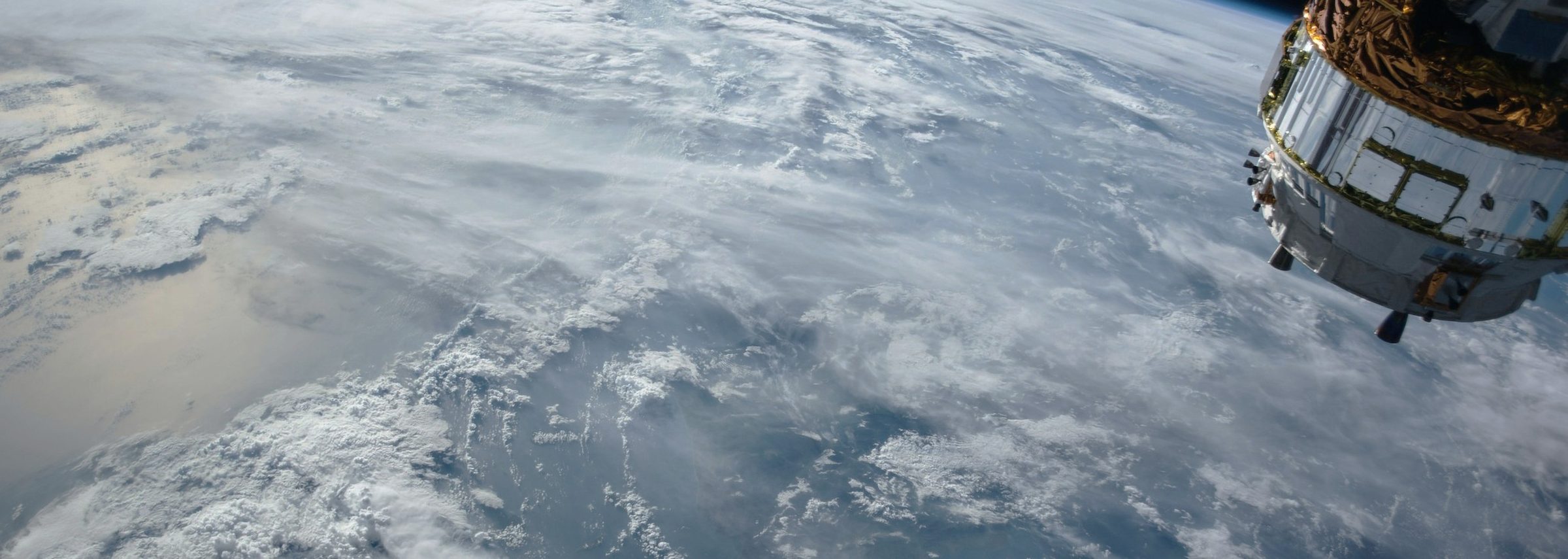
The Earth from orbit with Tiruchirappalli, Tamil Nadu, marked on India

On the ground

Drone photogrammetry, field verification and ground control.

From orbit

Sentinel-1 radar, Sentinel-2 and Landsat, and high-resolution imagery.

From our base

Karumandapam, Tiruchirappalli. 10.79° N · 78.70° E

Based in Trichy, working worldwide

Projects and milestones

Work delivered for an institute of national importance, metro and highway builders, and a water trust.

Water pouring through the arches of the Grand Anicut (Kallanai) on the Kaveri

River Atlas, Cauvery basin

National Institute of Technology, Tiruchirappalli

ArcGX completed the River Atlas project covering part of the Cauvery River Basin for NIT Tiruchirappalli. The team focused on high-precision validation of the riverscape mapping data, and NIT Tiruchirappalli issued a Work Completion Certificate for the engagement.

Client
NIT Tiruchirappalli
Focus
High-precision validation
Outcome
Work Completion Certificate
Groundwater potential map of the Irur watershed, shaded from very high to very low

Groundwater potential zones, Irur watershed

VEE Trust

Our founders' first completed project, delivered under the AstroCarto banner before incorporation. GIS and the Analytic Hierarchy Process delineated groundwater recharge potential across the watershed.

Client
VEE Trust
Method
GIS and AHP
Delivered
As AstroCarto, before 2025
Elevated highway works through a town, seen from a drone

Drone monitoring for infrastructure

Metro and highway works

Drone monitoring for the L&T Metroline, and for highway works executed by M/s. Oriental Structural Engineers Pvt Ltd, M/s. S.P.K and Co. and M/s. R R Infraa Construction.

Metro
L&T Metroline
Highways
Three contractors
Method
Periodic drone surveys
  1. Before incorporation

    Irur watershed study under the AstroCarto banner

  2. 13 June 2025

    ArcGX TechLabs Private Limited incorporated

  3. Since incorporation

    River Atlas for NIT Tiruchirappalli. Drone monitoring for metro and highway works

  4. 2026

    Expanding services and research

A clear path from question to answer

One accountable team takes every project through four steps, with accuracy targets agreed at the start and a review before anything is released.

  1. Discover

    We start with your question, the area of interest, accuracy needs, formats and deadline, then agree a scope and plan.

    You get: Scope and plan

  2. Acquire

    We fly drones, verify on the ground and source satellite or open data. Ground control is planned before capture.

    You get: Imagery and field data

  3. Analyse

    Our team processes, classifies and models the data, and checks every output against ground truth.

    You get: Validated layers

  4. Deliver

    You receive maps, data, dashboards and reports in your formats, ready for your team to use.

    You get: Ready-to-use results

Trusted by builders and researchers

National Institute of Technology, Tiruchirappalli

Academic partner and clientRiver Atlas, Cauvery basin

Bharathidasan University

Academic partnerResearch collaboration

L&T Metroline

Metro railDrone monitoring

Oriental Structural Engineers Pvt Ltd

Highway worksDrone monitoring

S.P.K and Co.

Highway worksDrone monitoring

R R Infraa Construction

Highway worksDrone monitoring

VEE Trust

Water resourcesGroundwater potential zones

Kongunadu College of Engineering and Technology

AcademicGIS seminar

Academic and institutional engagement

  • Partnerships

    Active academic partnerships with NIT Tiruchirappalli and Bharathidasan University.

  • Seminars and workshops

    Regular talks and webinars on GIS, remote sensing and geospatial careers.

  • Training

    Hands-on GIS sessions for students, faculty and working professionals.

Questions, answered

What does ArcGX do?
ArcGX TechLabs is a geospatial intelligence company in Tiruchirappalli. We deliver GIS mapping and spatial analysis, drone surveying and LiDAR, satellite remote sensing, geological services, environmental monitoring, urban planning support, agricultural intelligence and custom geospatial applications, for government, research and enterprise clients.
Is your drone pilot certified?
Yes. Our drone surveys are flown by a DGCA-certified remote pilot, and every flight is planned in line with India's Drone Rules, 2021, with pre-flight airspace checks.
How accurate are your surveys?
Accuracy targets are agreed with you at the start. Drone surveys tied to surveyed ground control points reach centimetre-level accuracy, and satellite analysis is validated against ground truth. We report the accuracy we achieved with each dataset.
Which formats do you deliver in?
The ones your team already uses: GeoTIFF and COG for imagery, LAS and LAZ for point clouds, SHP, GeoPackage, GeoJSON and KML for vector data, DWG and DXF for CAD, BIM-ready exports, WMS and WFS map services, web dashboards and PDF atlases.
Do you subcontract any of the work?
No. One accountable ArcGX team plans, flies, processes and delivers every project. There are no subcontractors and no hand-offs.
Where do you work?
We are based in Karumandapam, Tiruchirappalli, Tamil Nadu. Field teams travel to site across India for surveys and monitoring, and satellite and GIS work is delivered to clients worldwide.
How do I start a project?
Tell us about your site, your question and your deadline through the contact page, by email at support@arcgx.in or by phone on +91 95006 41247. Every enquiry gets a response within 24 hours.

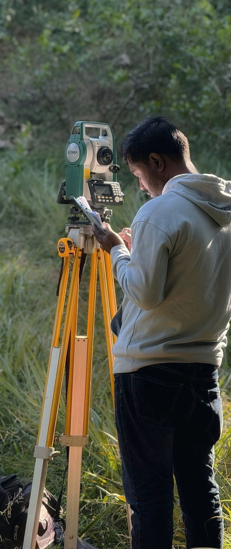
A surveyor reading a total station on a tripod in tall grass

Let's map what matters.

Tell us about your site, your question and your deadline. We respond within 24 hours.