
Geospatial experts who point the way
ArcGX TechLabs Private Limited is a DPIIT-recognised deep-tech geospatial startup, incorporated on 13 June 2025 and based in Tiruchirappalli, Tamil Nadu.
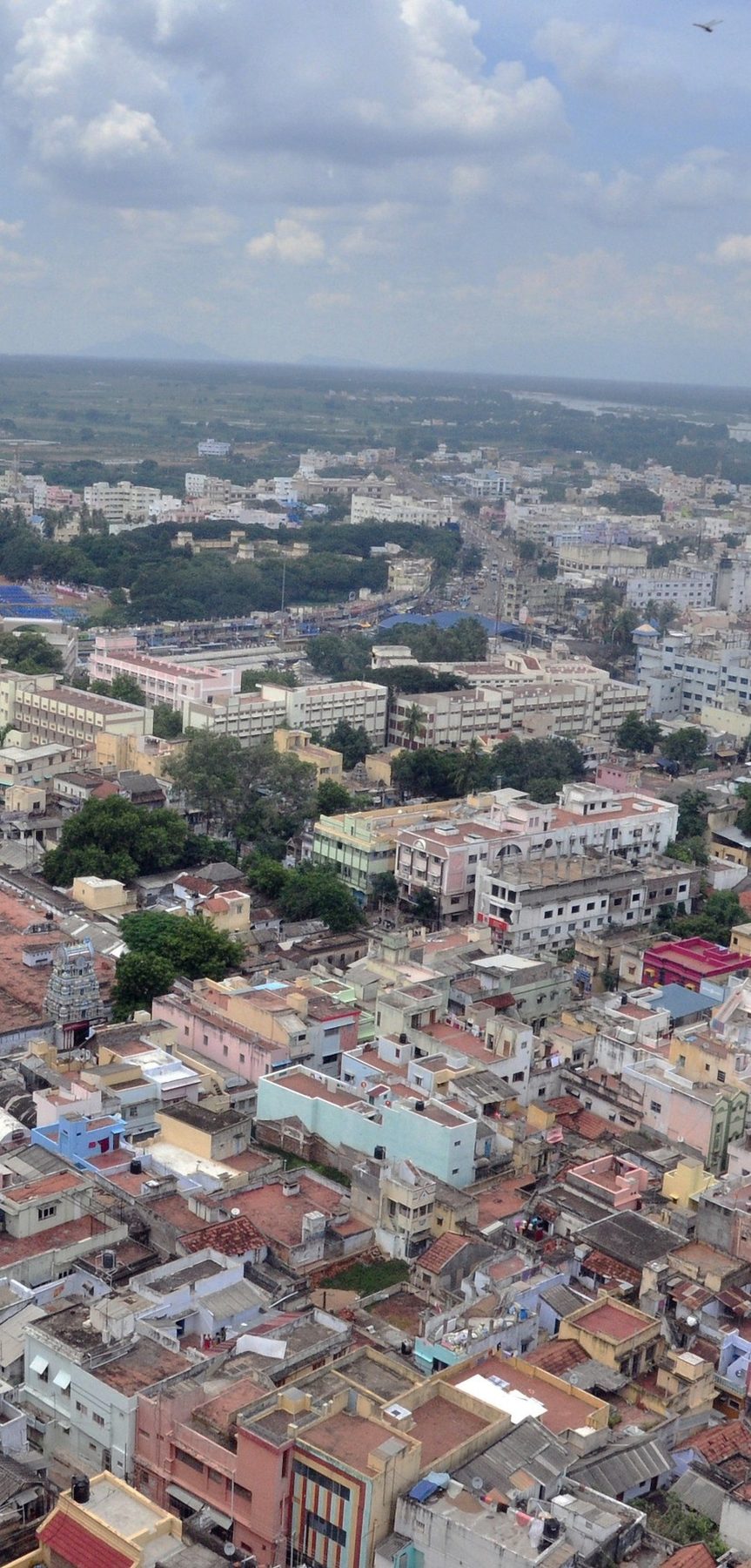
Geospatial intelligence, built in Tiruchirappalli
We deliver GIS mapping, satellite remote sensing, drone surveys and custom geospatial applications for government, research and enterprise clients in India and around the world.
Every service is self-performed end to end by ArcGX specialists, from flight planning to final delivery, with no subcontracted work. Results are ground-truthed for accuracy and delivered in the format your team already uses: CAD, GIS, BIM or a custom dashboard.
We also work closely with academia, including NIT Tiruchirappalli and Bharathidasan University, and share what we know through seminars and hands-on training.
- Incorporated 13 June 2025
- 2025
- Service domains
- 8
- GIS and remote sensing tools
- 10+
- University partners
- 2
- Response time
- 24 h

What ArcGX stands for
Our logo is a map in four strokes. Every part has a meaning, and together they say who we are: geospatial experts who point the way.
- A for Arc
- The Light Cyan tip and the ArcGX Cyan base together form the letter A of Arc.
- North arrow
- The same shape is a north arrow, the symbol on every map. The gap between the pieces is part of the logo.
- G for Geospatial
- The diagonal cut is a geological cross-section through the ground.
- X for eXperts
- The coral X stands for the people behind ArcGX: geospatial experts.
Arc + Geospatial + eXperts = ArcGX
Why we exist
Vision
Accurate geospatial intelligence behind every decision about land, water and infrastructure in India.
Mission
To map land and water from the ground and from space with care, turn data into clear answers and make geospatial technology precise, affordable and easy to use.
Our values
Accuracy first
Every dataset is checked against ground truth before it leaves our hands.
Own the work
Our specialists do every step themselves, from flight planning to the final map.
Clear delivery
Answers arrive in the formats people already use, ready to act on.
Partners in learning
We share what we know through seminars, training and academic partnerships.
Curious by nature
From paddy fields to the surface of Mars, we keep learning how the world works.
Our promise
Every enquiry gets a response within 24 hours.
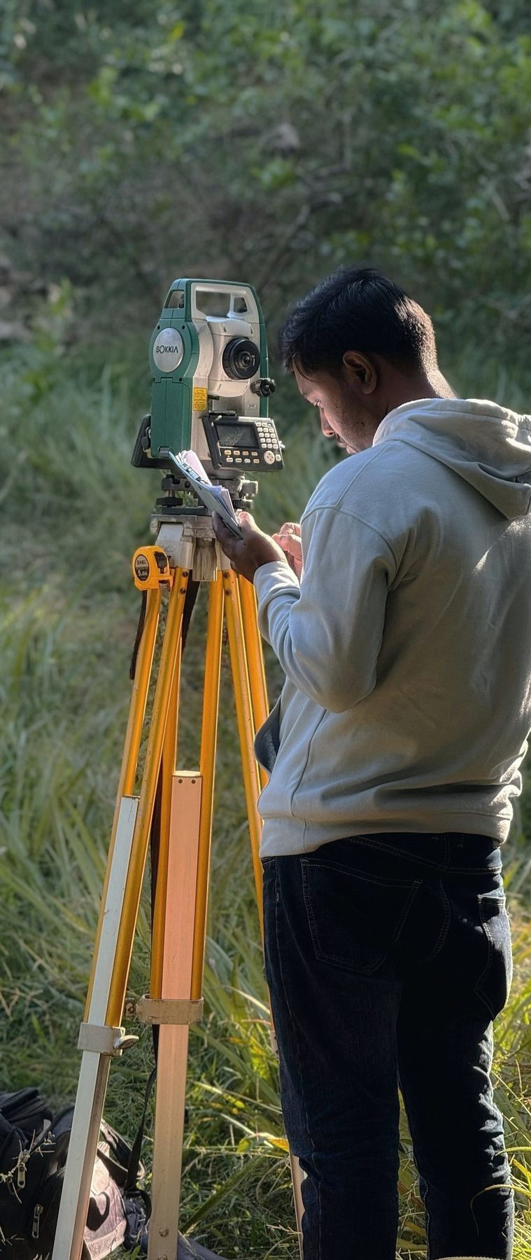
Three reasons clients choose us
Ground-truthed accuracy
Field verification and validation are part of every project, with ground control where accuracy demands it, so the numbers hold up when decisions depend on them.
- Field verification
- Ground control points
- Accuracy assessment
Self-performing, end to end
One accountable team plans, flies, processes and delivers. No subcontractors, no hand-offs and no gaps in responsibility.
- Flight planning
- Capture
- Processing
- Delivery
Delivered your way
Shapefile, GeoPackage, DWG, BIM-ready models, KML, web dashboards or printed atlases. You get results in the format your workflow already uses.
- SHP
- GeoPackage
- DWG
- KML
- BIM
- Web
- DGCA-certified drone pilot
- Centimetre-level accuracy
- Response within 24 hours
- No subcontracted work
The people behind ArcGX
ArcGX is led by its two founders and directors, with a team of GIS, remote sensing and drone specialists in Tiruchirappalli.
- Irfan Basha SFounder and Managing Director
- bosekarmegam.in(opens in a new tab)Suneel Bose KFounder and Chief Executive Officer
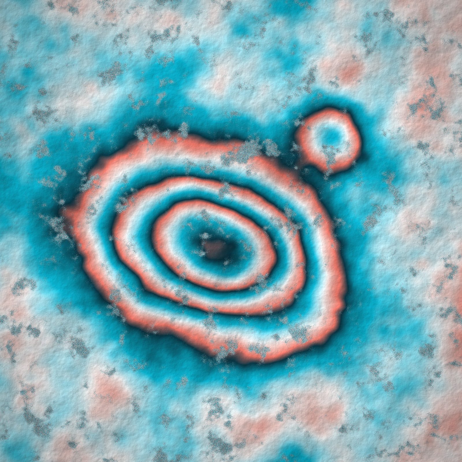
Ideas that sharpen our work
Research keeps our methods current and our results sharp. Our founding focus is the intersection of GIS and planetary science; these are the questions we are working on now.
Ground motion from space
InSAR time series from Sentinel-1 to detect subsidence and uplift.
Urban Climate Resilience Index, Tiruchirappalli
Combines heat stress from Landsat land surface temperature, flood vulnerability from elevation and drainage, and green cover deficit from Sentinel-2 NDVI in a weighted overlay, with a StoryMap output.
Ward-level Urban Livability Index
A PCA-based socio-economic and livability index for smart-city planning in Tiruchirappalli.
Planetary geoscience
Where GIS meets planetary science: AI crater segmentation and surface mapping of the Moon and Mars.
Coastal reflectometry
Exploring reflected S-band signals from India's NavIC satellites as a new way to watch the coast.
Open to research collaboration. Universities and institutes can partner with us on data, methods and field validation: support@arcgx.in.
Quality, compliance and company details
Self-performed
No subcontracted work. One accountable team from start to finish.
Accuracy
Ground truth, control points and checks before delivery.
Drone safety
DGCA-certified pilot and pre-flight airspace checks.
Data security
Client data is handled by our own team and shared only as agreed.
Documentation
Metadata, methods and coordinate details with every dataset.
Accuracy targets
Agreed with you at the start, so everyone knows what good looks like.
Ground truth
Field checks, with control points where survey-grade accuracy is needed.
Review before delivery
Every deliverable is reviewed against the scope before it is released.
Clear documentation
Metadata, methods and coordinate systems documented with each dataset.
Corporate information
- Legal name
- ArcGX TechLabs Private Limited
- CIN
- U63111TN2025PTC181394
- Incorporated
- 13 June 2025
- Registrar
- RoC Chennai
- Category
- Company limited by shares, non-government company
- Recognition
- DPIIT-recognised startup
- Status
- Active
- Registered office
- Plot #1, New Alpha Nagar, Society Nagar Road, Karumandapam, Tiruchirappalli, Tamil Nadu 620001
- Directors
- Irfan Basha S (DIN 11152318), Suneel Bose K (DIN 11152319)
Let's map what matters.
Tell us about your site, your question and your deadline. We respond within 24 hours.