
Agricultural Intelligence
Crop health, soil, yield and crop-area statistics with acreage estimation, for departments, insurers and farmer groups.
What we deliver
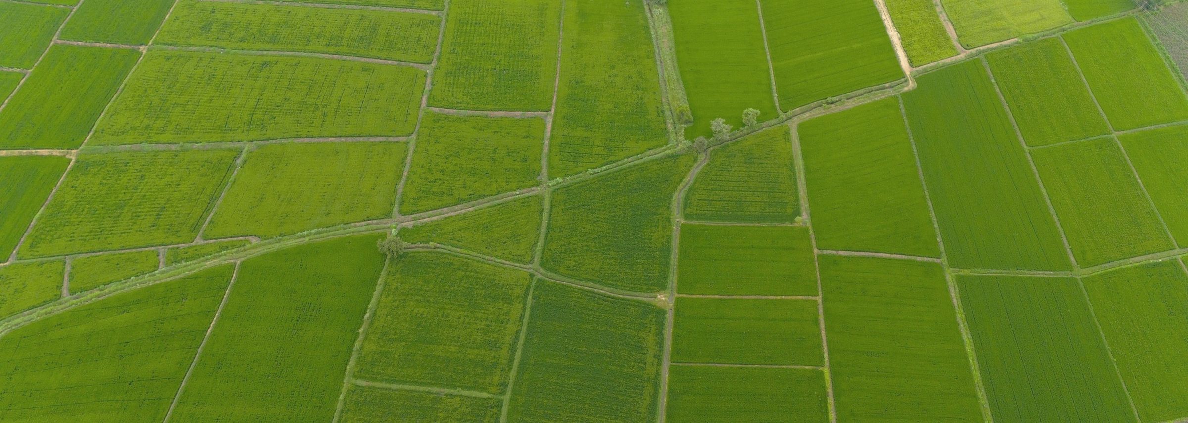
- Crop health monitoring (NDVI)
- Crop type and acreage estimation
- Irrigation and canal mapping
- Soil and land capability maps
- Crop-area statistics
Typical uses
- Agriculture departments
- Irrigation planning
- Crop insurance assessments
- Farmer producer organisations
How the work runs
Discover
We start with your question, the area of interest, accuracy needs, formats and deadline, then agree a scope and plan.
Acquire
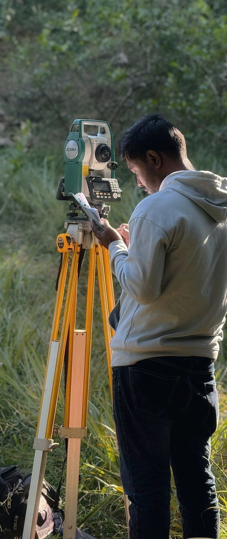
We fly drones, verify on the ground and source satellite or open data. Ground control is planned before capture.
Analyse
Our team processes, classifies and models the data, and checks every output against ground truth.
Deliver
You receive maps, data, dashboards and reports in your formats, ready for your team to use.
Tell us what you need mapped
Share the site, the question and the deadline. Every enquiry gets a response within 24 hours.